Continents Chinese Poster (A4 & A3)
€ 9,00
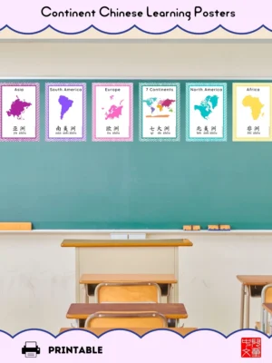
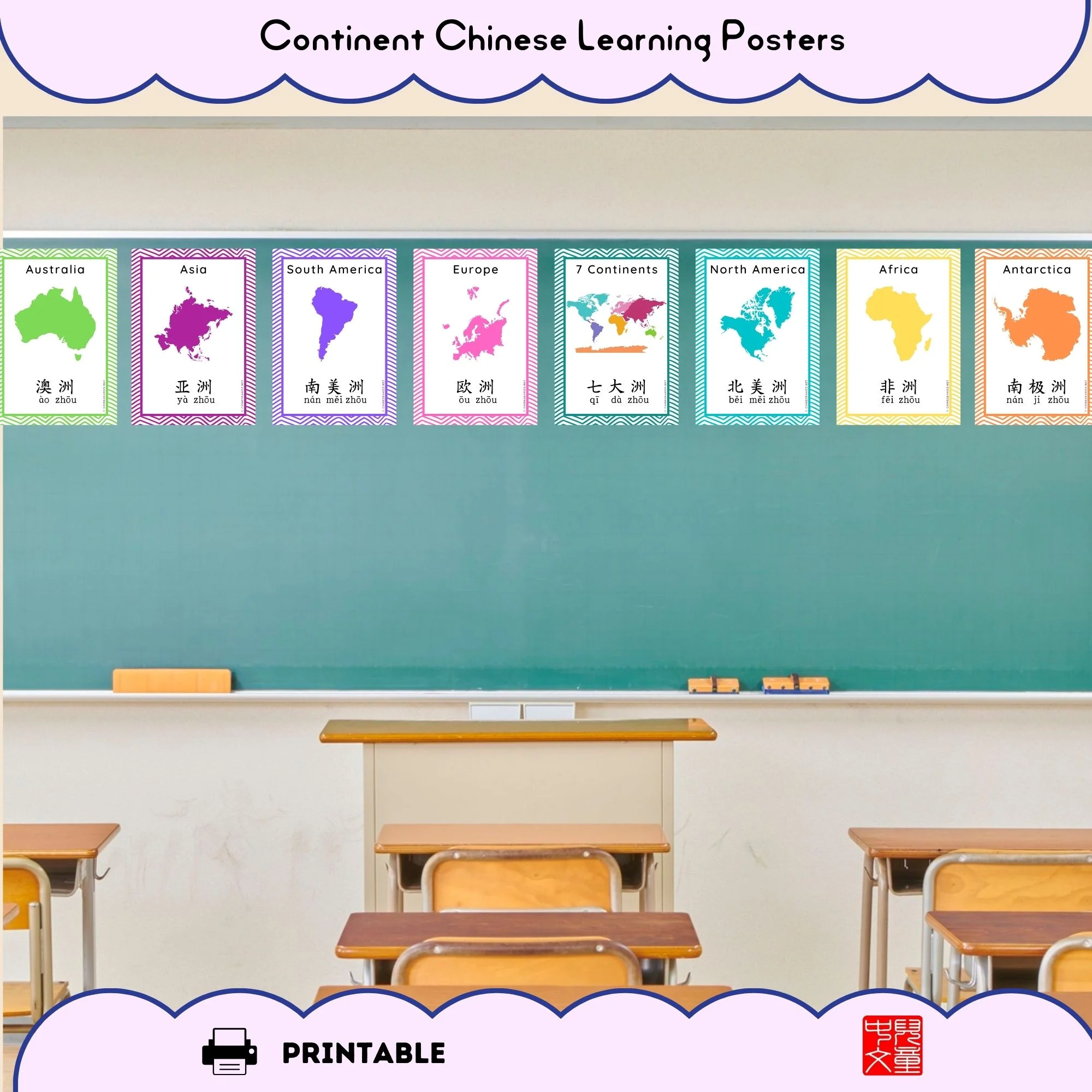
Continent posters for kids in bilingual Chinese and English. Color-coded continent maps for classroom walls or bedrooms. Choose A4 (small) or A3 (large). Perfect geography teaching resource for schools and home learning.
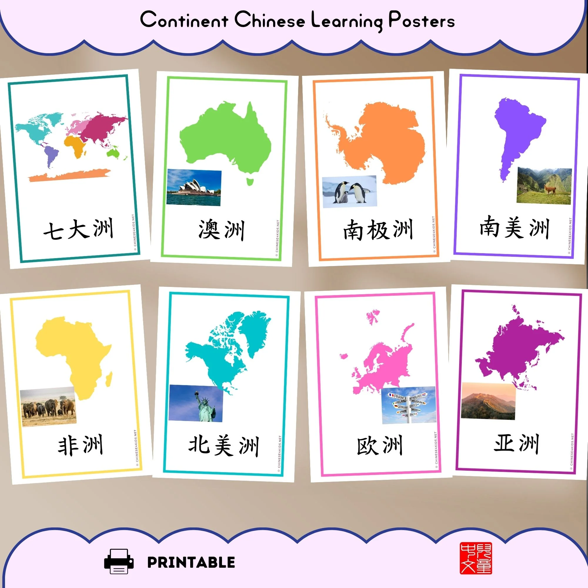
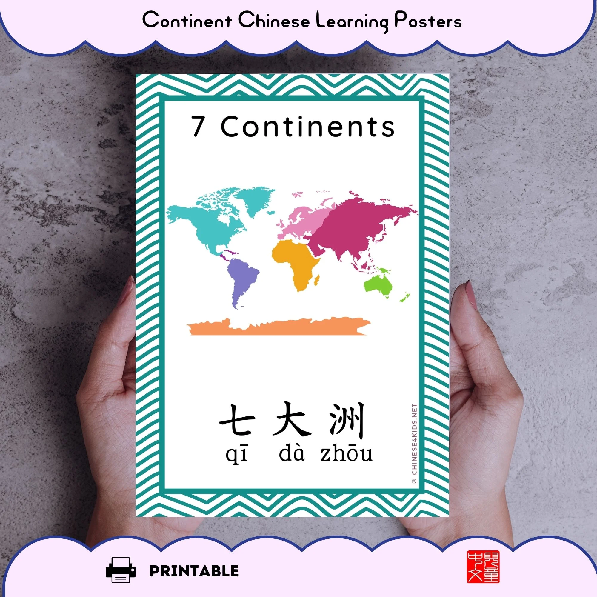
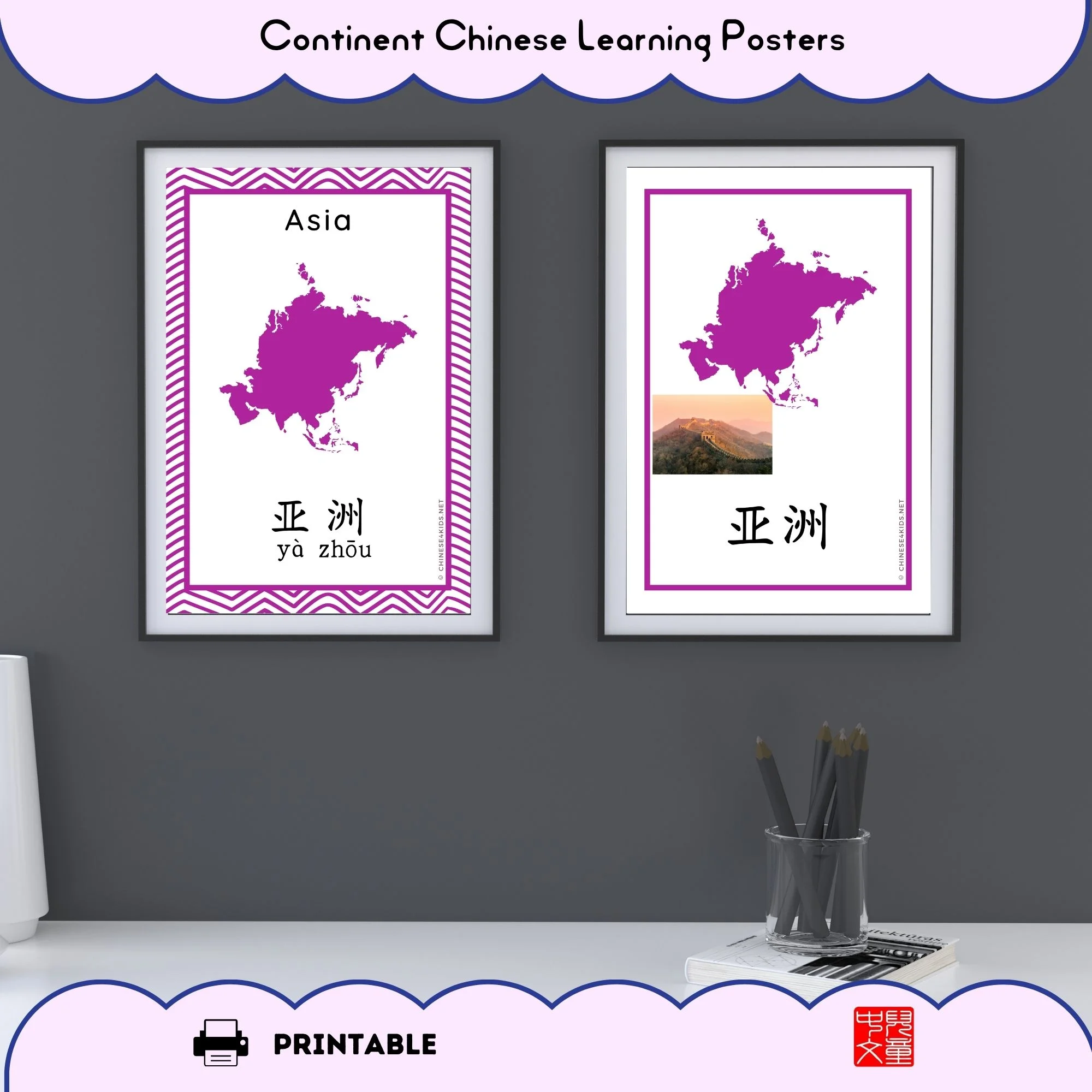
Bilingual Continent Posters for Visual Learning
Our continent posters for kids bring geography to life on your classroom wall or bedroom.
You get two complete poster sets in one download—choose which style works best for your learners:
Set 1: Map + Label + Image Style Each poster features:
The continent map (bright, color-coded for easy recognition)
A representative image (typical object, landmark, or animal from that continent)
Chinese name + pinyin
Clean, modern design
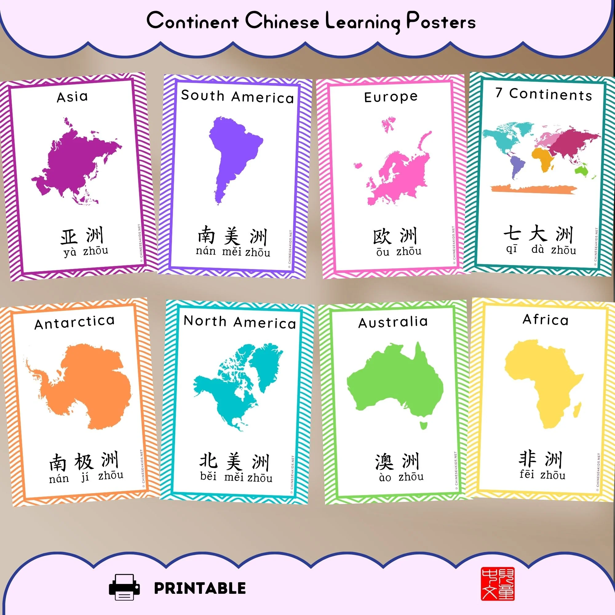
Set 2: Map + English + Chinese Style Each poster features:
The continent map (bright, color-coded for easy recognition)
Chinese name + pinyin + English name
Large, readable text (visible from across the room)
Engaging colors
What’s Included:
- 7 individual continent posters (one for each continent)
- 1 world map poster showing all 7 continents together
- 8 posters total in each style (14 posters when you download both sets)
- Two size options for each style
Choose your continent posters size:
- A4 continent posters: Small format (8.3 x 11.7 inches). Great for bulletin boards, small classrooms, or compact spaces.
- A3 continent posters: Large format (11.7 x 16.5 inches). Perfect for prominent classroom wall display or bedroom focal points.
Print the style you prefer, or print both! Mix and match sizes. Use them separately or combine with our flashcards for a complete geography curriculum.
How Continent Posters Work for Learning
Visual anchor on the wall: Kids see these continent maps every single day. Without formal study, their brains absorb the shapes, colors, and names. Repetition is the secret to memory.
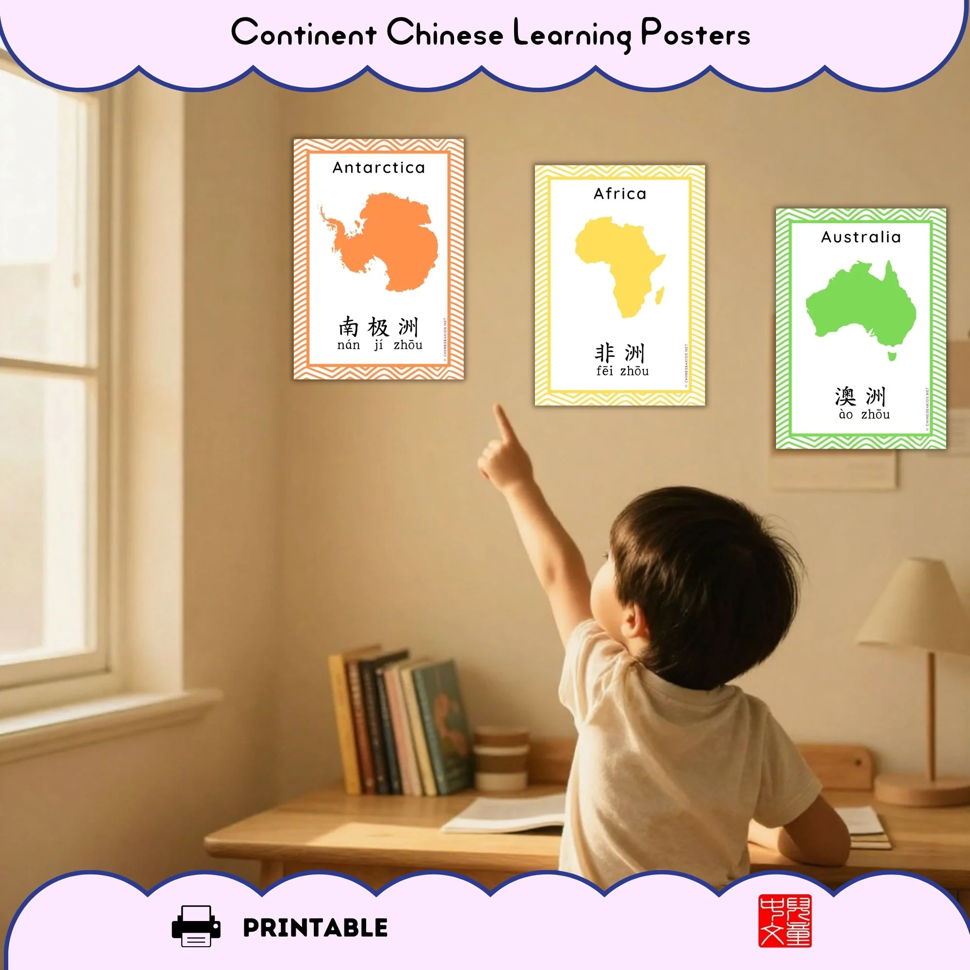
Active teaching with continent posters: Point to a poster during lessons. Ask geography questions. “Which continent has the Amazon?” “Where do penguins live?” The continent map becomes your teaching tool.
Multi-sensory learning approach: Use these geography posters for kids alongside our Montessori flashcards or coloring pages. Each learning activity reinforces what they learned before.
Research shows kids remember better when they:
- See it (posters on the wall)
- Touch it (hands-on flashcards)
- Create it (coloring activities)
This is why continent posters work best as part of a complete system.
Why Choose Continent Posters Over Other Geography Resources
- Continent posters are permanent learning tools. Unlike worksheets that get lost, posters stay visible. Kids absorb the information passively while they do homework, eat breakfast, or daydream.
- Beautiful enough to frame. These aren’t boring textbook maps. The colors are engaging. Parents love hanging them in children’s rooms.
- Bilingual from day one. Chinese + English labels help heritage families and international students learn geography vocabulary in both languages.
How to Use Your Continent Posters
Print options:
- Print on regular paper (budget-friendly)
- Print on cardstock (more durable)
- Print at a print shop (vibrant colors, professional look)
Display options:
- Laminate for classroom durability
- Frame in standard poster frames
- Tape to walls (works great for renters)
- Add to bulletin boards
Teaching strategies with continent posters:
- Using Style 1 posters (with representative images): Discuss the image first—what does it tell us about that continent? Then learn the Chinese name and map.
- Using Style 2 posters (with English labels): Great for bilingual vocabulary building. Students read both languages simultaneously.
- Hang one continent at a time, rotating weekly
- Display all seven continents plus the world map for reference during geography units
- Use as a backdrop for photo lessons (students point to continents on the poster)
- Mix both styles in the same classroom for variety
- Combine with Continents Flashcards for matching activities
Best Uses for Continent Posters
- Classroom walls (especially international schools or ESL classes)
- Bedroom decoration (geography-loving kids)
- Homeschool learning spaces
- Heritage family teaching (bilingual vocabulary building)
- Tutoring centers (professional-looking teaching resource)
- Teacher resource libraries (reusable year after year)
Complete Your Continents Learning Set
This product is part of our comprehensive geography curriculum. For complete learning:
- Continents Montessori Flashcards (€9) – Hands-on 3-part matching games
- Continents Coloring Pages (€7) – Creative reinforcement through art
- Continents Bundle (€17) – Get all three resources and save €6
Age Range & Learning Level
4-14 years old. Works for:
- Young learners discovering continents for the first time
- Older students reinforcing geography vocabulary
- Heritage learners building bilingual geography knowledge
- English language learners building vocabulary
What’s Inside Your Download
8 posters per style (7 individual continents + 1 world map showing all continents), 16 posters in total.
Two poster styles to choose from:
- Style 1: Map + Representative Image + Chinese (with pinyin)
- Style 2: Map + Chinese (with pinyin) + English name
Two size options: A4 and A3 continent posters
- Unlimited printing for personal and classroom use
- Color-coded continents for visual memory
- Bilingual learning with both Chinese and English labels
No shipping. No waiting. Download immediately and print when ready. Print both styles if you want variety!